|
Inch Abbey and
the parish graveyard
Inch is an island, bounded
to the south by the River Quoile and to the north by marshland.
The island is made up of a row of low, rounded glacial hills and
the abbey lies in the hollow between two of the hills. Downpatrick
Cathedral can be seen across the river.
There was a church or monastery
on this site by 800 AD. Probably with wooden churches, wattled
and thatched cells and other buildings, gardens, orchards and
agricultural land. In 101 Kilclief and Inch were plundered by
Vikings and many prisoners carried off. It was plundered again
in 1149 and the Anglo-Normans invaded in 1177. John de Courcy
destroyed the abbey at Erenagh, south of Downpatrick, and in atonement
founded a Cistercian abbey at Inch in 1180. The Cistercians were
followers of a strict, reformed Benedictine-based rule established
in late 11th century France. Established as a distinctly Anglo-Norman
establishment, Irishman weren't allowed to enter the community.
The abbey was burned in 1404 and monastic life ended in 1542 and
the property passed into the hands of the Perceval Maxwell family.
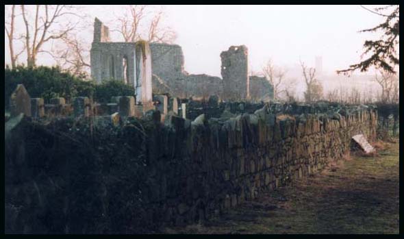
Today's ruins cover several
acres and you can see the remaining walls and foundations of the
church (seen above) with the north and south transepts, the vestry,
a small chapter house, the long day-room, the refectory, kitchen,
infirmary, a well and the bakehouse.
The parish graveyard ( partly
seen above) occupies a central position within the pre-Norman
enclosure. The Cistercians excluded lay people from their churches
but often built a chapel for them at the edge of the precinct.
A chapel was assessed separately from the abbey in the 1306 taxation
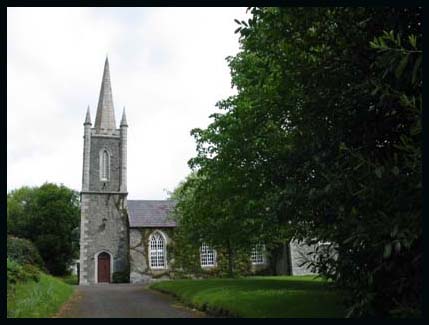
roll. The site was abandoned in 1730 when a new Inch parish church
was built in Ballynacraig townland. Early 19th century prints
of the abbey show a ruined church in the graveyard, which was
demolished later in the century.
There is a general graveyard
next to old Abbey; gravestone inscriptions UHF Vol 7 ; email me
for a gravestone look-up
|
