|
Maghera
Church of Ireland
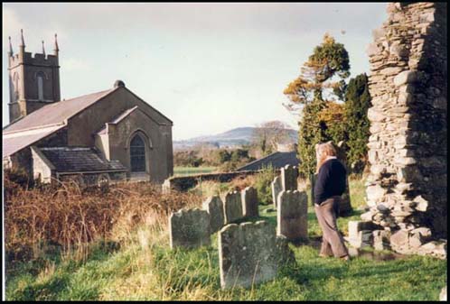
The Church of Ireland is in Maghera village
down a long laneway. It marks the site of an early 6th century
monastery founded by St. Donard, who gave his name to the highest
peak in the nearby Mourne Mountains.
The remains of the old church, which was
built in the 13th century, is nearby (on the right of the photo)
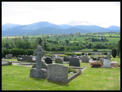
It is surrounded by a graveyard. The old church is now a ruined
rectangular structure built of rubble granite boulders and split
stone. The west gable and the north walls still stand to their
original height. There is a narrow light set high into the north
walls. It stands in a circular walled enclosure described as a
monastic cashel. There are two pre- Norman cross-craved stones
and a 13th century coffin lid used as a headstone in the graveyard.
In mid 19th century a bronze enamelled plaque was found in the
graveyard. It was some sort of a badge in the shape of a crucifix.
A group of women and soldiers surround the cross One of the soldiers
is in the act of piercing Christ's side. It supposedly belonged
to one of the Knights Templar of Dundrum.
In 1825, the Board of First Fruits gave
£500 towards the cost of building a new church. The architect
was John Bowden.The rector in 1830 was Rev. William Duffin. The
new church was rebuilt in 1887. The Glebe House is across the
fields and there is an ancient round tower nearby.
The tower stood to its full height until 1714 went it fell in
a great storm.
|


