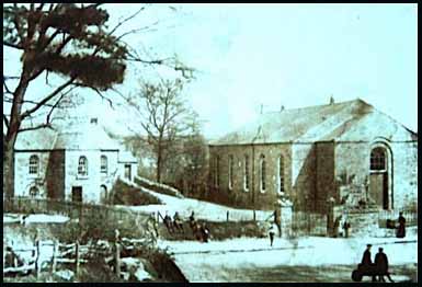
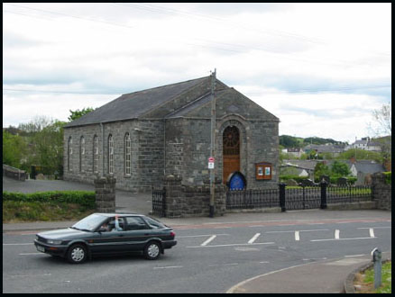
|
Ros
Davies' Co.
Down, Northern Ireland Family History Research Site
© Rosalind Davies 2001 Permission granted to reprint research for non-profit use only |
Magheradroll/Magheradrool parish
 |
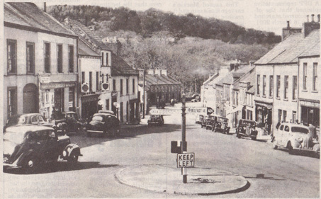 |
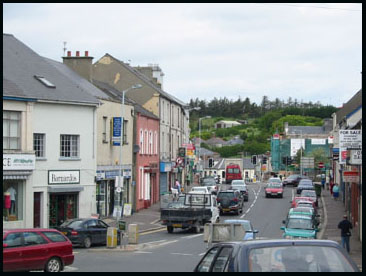
| This photo shows the view looking north from the Clough road. | This postcard from the 1950s shows Dromore St,
Ballynhinch heading west Courtesy Horace Reid |
 |
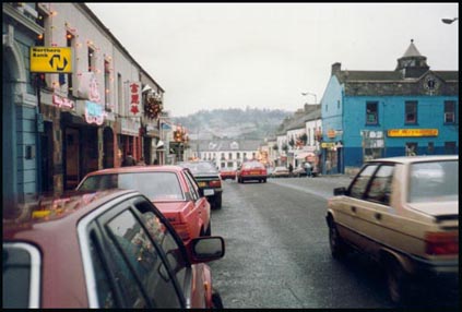 |
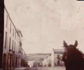
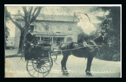
| This lovely old photo was taken from a jainting car by a relative of Christy Kreidler (interested in Reid, Patterson & Thompson families of Dromara.) It shows a similar scene to the photo on the right. | The photo above was taken coming into town from the south. The Market Square is on the right , painted blue (in 2002) but since renovated to its original colour. |
|
The area around Ballynahinch was a McCartan stronghold
in 1600. The town was founded in 1641 by Sir George Rawdon, an ancestor
of the Marquis of Hasting and it remained in the familiy's possession
until the early part of the 18th century. The windmill on the hill was
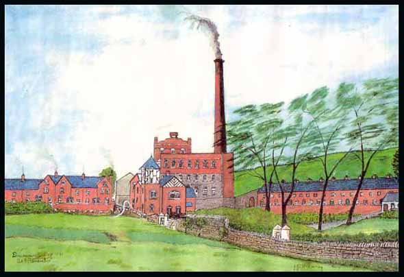
first leased in 1773. Ballynahinch is still a market town; the main street is long and many roads from outer lying villages converge here making it a traffic nightmare. There are plans to build a bypass road. In 1795, Ballynahinch was described as being a post town on a small river. The country about it is extremely coarse full of rocks and hills. The Earl of Moira owned several townlands in the area ( EMLR) & had his residence here and a few miles to the south was an excellent chalybeate sulpherous spa (called Spa). The town had a residentiary house, a charter school and Presbyterian meeting house. David Ker built the town's water whell-powered mill in 1816. (email me for a photo {MO Sep 2002}).The school was endowed with 2 acres of land and financed by the Earl of Moira and William Johnston. By 1836 nothing of the school existed and the land had been resumed by the current landlord Mr. David Ker of Montalto. But there were now 5 new schools in town, a Poor House, a dispensary, a corn & flax mill and much flax grown. The population of the town in 1821 was 884 people with 144 inhabited houses.Poor Law district population was 4097 in 30 Nov 1839. The population in 1846 was 911 people. The railway line from Belfast reached the town in 1858. In 1910 the population was 1512 people. In 2 May 1911 (DR) concerns were raised about lack of space in graveyards- no vacant plots in 1st Presbyterian & only a few in 2nd Presbyterian & parish church & no Catholic graveyard at all . Click
here for a History of the town. Newspaper articles from Northern
Star; Newspaper articles from Down
Recorder; Newspaper article from Newtownards
Chronicle; I have indexed the listings from the Griffiths Valuations of 1863 into the Surnames Index- for Ballynahinch townland ; Gasworks Road, Ballynahinch ; High Street ; Market Square ; Windmill Street ; Alfred Street ; Lisburn Street ; Bridge Street & Church Street |
| References;NS; V17 p 99,100, 101, 102, 106, 107, 116 OSM: MOA p226,244; MO 8/11/04*; *; DR; BH; MO 9 May 2001; BMap; GIPR; GV; EMLR ; WAB ; BIT; OBLS p3,4 , back cover (b/w photos) |
 |
|
||
 |
|
||
 |
|
||
|
|
||||
 |
|
||
 |
|
||
 |
|
||
 |
|
||
 |
|
||
 |
|
||
by Ros Davies
