 |
Ros
Davies' Co.
Down, Northern Ireland Family History Research Site
© Rosalind Davies 2001 Permission granted to reprint research for non-profit use only This is a list of Maps available for Co. Down |
 |
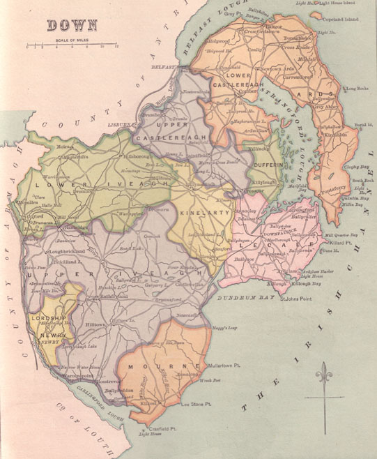
Click here for a map of Co. Down
Click here for a map of the parishes in Co. Down.
Allan Cairnduff has placed my maps on an interactive site. Click here if you'd like to see the maps this way or click on a parish below.
Email me if you'd like a copy of Ordnance Survey Maps of
1836 for the following towns:
Ardglass, Ballymacarrett, Ballynahinch, Banbridge, Bangor, Castlewellan, Comber,
Crossgar, Donaghadee, Downpatrick, Dromore, Hillsborough, Holywood, Kilkeel,
Killough, Killyleagh, Moira, Newcastle, Newry, Newtownards, Portaferry, Rathfriland,
Rostrevor, Saintfield, Strangford or Warrenpoint.
Click on a name to view the map
Ros Davies