|
Ros
Davies' Co.
Down, Northern Ireland Family History Research Site
© Rosalind Davies 2001 Permission granted to reprint research for non-profit use only |
Bangor Parish
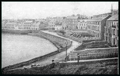
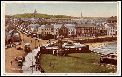
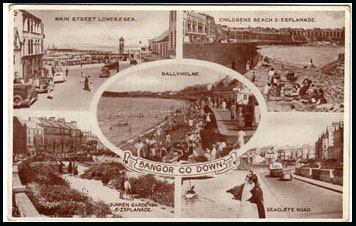
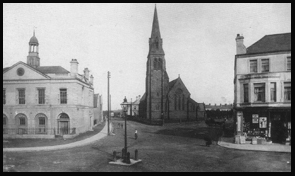
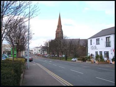
In 1625 Bangor was described as having 70 English style houses as well as numerous rough looking huts. In 1659 there were 62 English/Scots & 35 Catholic families here. In 1764 the population of the parish was 400 Church of Ireland, 3025 Presbyterians & 12 Catholics. (TMUOP p88;MOA p22) .In 1824, the population of the town was 5000 with about 1000 homes. (POD) In 1836, Bangor was described as having 550 houses which were built of stone and plastered,whitewashed or otherwise coloured; most with slated roofs but some thatched. The most noticeable objects when entering the town were the high church spire and Bangor Castle. There were two large cotton factories with their smoking chimneys and a corn mill giving the town as a whole a manufacturing, crowded and dirty appearance. The average number of people in a family was 5 and their usual food was potatoes, meal and bacon or salt beef when the latter could be afforded; they were considered luxuries. There were four churches in town; Church of Ireland, 2 Presbyterian and one Methodist. The Market House in the centre of town was a small building, recently erected by Lord Bangor and Colonel Ward. Bangor was a municipal town with the corporation consisting of a provost and 12 burgesses. The people were mainly shopkeepers or worked in the cotton factory. There was a library with religious and moral books, a savings bank, a mendicity institution and poor house and five schools. No markets were held in town but there were three fairs during the year. There was a dispensary in town which saw about 700 people a year, mainly with scrofula, which was said to be brought from Scotland. There was a coastguard with 5 men and an officer and 2 policemen. The harbour, as seen above, was ' very bad'. At low water it was completely dry. There was only one pilot in town, who was connected with an insurance company and whose job it was to get the vessels safely out of the harbour. In 1846 the parish population was 10,060 with 3166 people living in Bangor town. 27 May 1848, public works program instigated for famine relief with road upgarde from Belfast in Bangor, Bangor Bog to Post Office. (FCD S2 p 8). By 1863 the railway line from Belfast was in progress. (GV) The Police Barracks and Petty sessions Court House were in Main Street; the Bangor Gaslight Company in Ballymagee Street ;the Coastguard Watch Tower was in Quay Street; the dispensary & Workhouse were in Catherine Place in 1863. In 1886 there was an extensive lime works here. The popluation in 1901 was 9666 in the town with extra 5903 in surrounding areas . Bangor became a fashionable place for affluent people to built their villa and others to have a day trip or a holiday. Newspaper articles from Down
Recorder; Newspaper articles from Newtownards
Independent; Newspaper articles from Newtownards
Chronicle; |
||||||||
| References;V7 p19-25 & V17 p124, 128, 129 OSM : DR; NI; NC; O'L B p 34, 326; PNNI V2 p 143;GV; POD; OS map 1902 2.05 & 2.06; MOA p20 |
 |
|
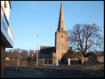
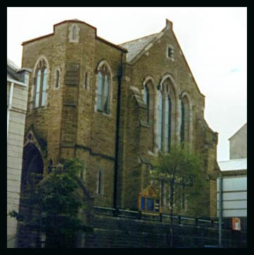
This church was built in 1882 to replace the Abbey church . The rector in 1910 was Rev J.I. Peacocke with Rev. J. Quin as curate & R. Jones as organist. . Newspaper articles from Down Recorder newspaper; Newspaper articles from Newtownards Chronicle; no graveyard; burials in the old Abbey |
||||||||||||||||
| References; V7 p 20, 24 OSM; POD; DR ; NC; GIC; V17 MIs; Bangor p2, 4 ;GV ;OS map 1901 2.06 ; POD |
 |
|
 |
|
 |
||||
 |
|
Groomsport
townland of 136 acres & a town; 3km NE of Bangor
 |
 |
|
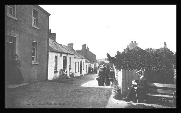
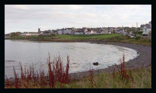
This lovely old photo of The Hill, Groomsport c. 1900 (on the left) was kindly sent to me by Jeff Hampton. On 13 Aug 1689, the English Fleet with Duke Schomberg & an army of 10,000 came ashore in Groomsport. In 1659 there were 25 English/Scots & 8 Catholic families here. The population in 1910 was 264 people. Newspaper articles from Down Recorder newspaper; Newspaper articles from Newtownards Chronicle; |
| References;V17 p 124 & V7 p 19 OSM; SP; DR; BM; GIC; GIPR;NC; O'L B p 493; PNNI V2 p 163; POD |
 |
|
 |
|
 |
|
 |
|
 |
|
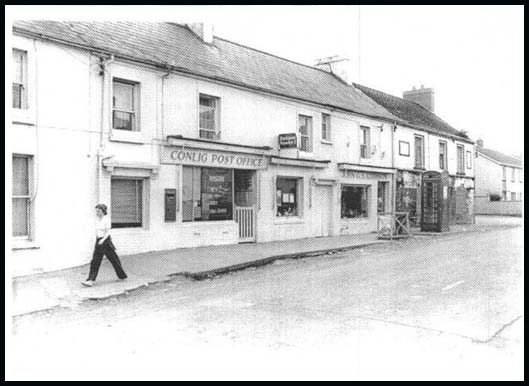
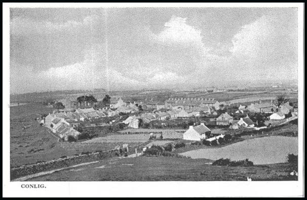
Conlig village
4km S of Bangor on Newtownards road
 |
 |
|||
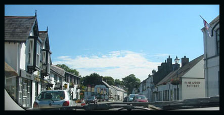
| These lovely old postcards were kindly sent by Joe Montgomery | ||||
 |
|
 |
|
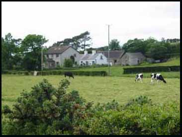
Ballyhay townland- typical farmhouse
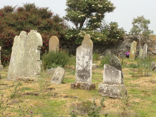 |
This old graveyard is near the landing stage in Chapel Bay on the largest island but the ancient chapel is in ruins.
Nothing is known about the chapel . The islands are called after William
Coupeland, a Norman settler. They belonged to the Abbey of Bangor at
the time of the dissolution of the monasteries . They were next granted
in 1630 to James Hamilton, Viscount Claneboy. On the opposite side of
the island (north-west) is a small harbour called Port Ninion after
St. Ninian bishop of Whithorn in Wigtownshire (c.360-c.432). In the 1863 valuation the only names of residents on the island were Clegg, Emerson and Wright. In the 1830s there were 15 houses on the island but in 1953 only one house was occupied & the last inhabitants, Frederick and Aise Clegg, moved to the mainland in that year. They died in 1964 and 1965 and were the last burials in the island graveyard. |
| This photo was kindly sent by G. Mark Donald | References; RSJ Clarke; MIs |
by Ros Davies
